


11 km | 13,7 km-effort


Utilisateur


Application GPS de randonnée GRATUITE
 SityTrail
IGN / Instituts géographiques
SityTrail World
Le monde est à vous
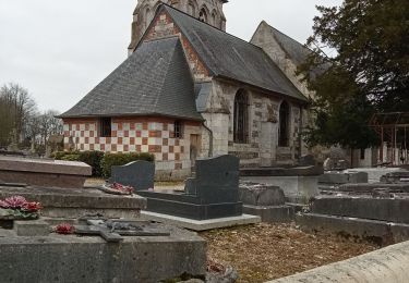
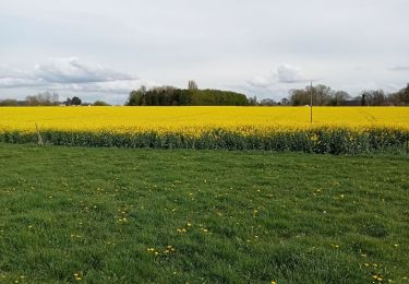
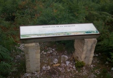
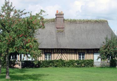
Randonnée Course à pied de 44 km à découvrir à Normandie, Eure, La Haye-de-Routot. Cette randonnée est proposée par hgoye.
Hivernale du raid normand.
Attention. La trace GPS s'est arrêtée au Pont de Brotonne. Ensuite j'ai ajouté le parcours à la mano (ce qui implique des erreurs).

Marche
Marche
Marche


Marche
V.T.T.
Marche
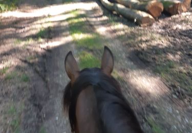
Randonnée équestre
Marche